Georgia Winter Travel: Your Guide to Checking Road Closures
That beautiful flurry of snow can be magical, but it can also make travel tricky. Here’s how to stay ahead of road closures in Georgia this winter.

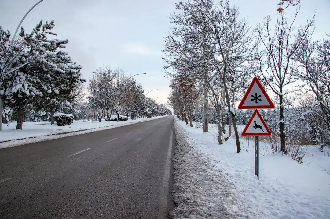
There’s something truly special about the way the South transforms under a blanket of snow. The familiar landscapes of Georgia, from the rolling hills to the pine forests, take on a quiet, muffled beauty. But as anyone who has ever had to drive in it knows, that winter wonderland can quickly turn into a travel nightmare. One minute you're admiring the scenery, and the next you're wondering if the road ahead is even open.
I've been there. I remember one particular trip, heading up toward the mountains, when a sudden flurry turned into a full-blown snow event. The anxiety of not knowing what the road conditions were like just a few miles ahead was palpable. It’s a feeling of being unprepared that I think we’ve all experienced at some point. Honestly, it’s not just about convenience; it’s about safety for you and everyone else on the road.
Fortunately, getting reliable, real-time information has gotten so much easier over the years. You don't have to rely on guesswork or old news reports anymore. The key is knowing exactly where to look. Whether you're a lifelong Georgian or just passing through, having the right tools at your fingertips can make all the difference between a stressful ordeal and a safe, calm journey.
Your Go-To Resource: Georgia 511
When it comes to road conditions in the Peach State, the Georgia Department of Transportation (GDOT) is the ultimate authority. Their Georgia 511 service is a comprehensive, 24/7 resource designed to give you the most current information available. I’ve found it to be incredibly reliable, and it’s the very first place I check before heading out in wintry weather.
The best part is that they offer multiple ways to access this information, so you can use whatever is most convenient for you at the moment. The most powerful tool is the interactive map on the 511ga.org website. It’s not just a static map; it shows live updates on traffic flow, accidents, construction, and, most importantly, weather-related closures. You can zoom into your specific route, check for alerts, and even view traffic camera feeds in many areas. It’s like having a bird's-eye view of the entire state's road network.
If you're not in front of a computer, the Georgia 511 mobile app is just as powerful. It’s available for both iPhone and Android and gives you all the functionality of the website in the palm of your hand. I usually pull it up before I even leave the house. And for those times when you're already on the road (and hopefully have a passenger who can check for you), you can simply dial 511 from your phone. It’s a free call that connects you to an automated system with real-time travel information. You can even speak to a live operator if you need to report an incident.
Other Essential Layers of Information
While Georgia 511 is your primary source, it’s always a good idea to have a few backup options and to understand the bigger weather picture. Sometimes local conditions can change rapidly, and having a multi-pronged approach to information gathering is the smartest way to travel.
First, keep an eye on your local news and weather outlets. Stations like WSB-TV in Atlanta or 13WMAZ in Macon provide excellent, on-the-ground reporting during major weather events. Their meteorologists are tracking the storm, and their reporters are often out in the field, providing visual confirmation of which roads are hazardous. Their websites and social media feeds are often updated more frequently than their broadcast news, making them a great source for minute-by-minute information.
Second, don't forget the source of all weather alerts: the National Weather Service (NWS). Their forecasts and winter storm warnings will give you the "why" behind the road closures. If the NWS issues a Winter Storm Warning or an Ice Storm Warning for a county you'll be driving through, it’s a major red flag. This is your cue to seriously reconsider your travel plans or, at the very least, to start monitoring Georgia 511 with extreme diligence. GDOT uses these same NWS alerts to decide where to deploy their brine trucks and snowplows, so it gives you a heads-up on which areas are likely to be impacted first.
A Final Thought on Preparation
Knowing where to find information is half the battle, but the other half is simply making the right decision. The tools are there to empower you, but sometimes the safest choice is the one we're most reluctant to make: staying put. No appointment, event, or errand is worth risking your safety or the safety of others on an icy road.
Before you head out, take a moment. Check the Georgia 511 app, glance at the local weather forecast, and be honest with yourself about the conditions and your comfort level with driving in them. A little bit of patience can prevent a whole lot of trouble. That beautiful snowy landscape is much more enjoyable when you can watch it from a warm, safe place with a hot drink in hand, knowing you made the smart call.
Stay safe and warm out there.
You might also like

Is Poland Safe For Solo Female Travelers? The Honest Answer.
I get it, safety is the number one question we ask. So I did a deep dive into whether Poland is a good choice for women traveling alone. Here's what I found.

The Secret Language of Light: How Color Temperature Shapes Your Home
Ever walk into a room and feel it's just 'right'? The secret might not be the furniture, but the light itself. Let's dive into color temperature and how it shapes the soul of your space.

Sailing Through History: How to Choose the Perfect Nile Cruise From Luxor to Aswan
Dreaming of Egypt? A Nile cruise is the ultimate way to experience its ancient wonders. Let's break down how to pick the right boat, itinerary, and all the little details for your trip of a lifetime.

Recession-Proof Investing: A Beginner's Guide to Building a Resilient Portfolio
The word 'recession' can be scary, but your investment strategy doesn't have to be. Let's explore some foundational basics for building a portfolio that can weather economic storms.

Your Guide to a Strength Training Routine That Actually Works for Beginners
Stepping into the world of weights can feel intimidating, but it doesn't have to be. Here’s how to build a simple, effective strength training routine from scratch.